How Drones and Data are Transforming Cincinnati's Transit System
Discover how UAS drones and advanced data analysis are reshaping safety, efficiency, and public transit in Cincinnati, a transit transformation journey.

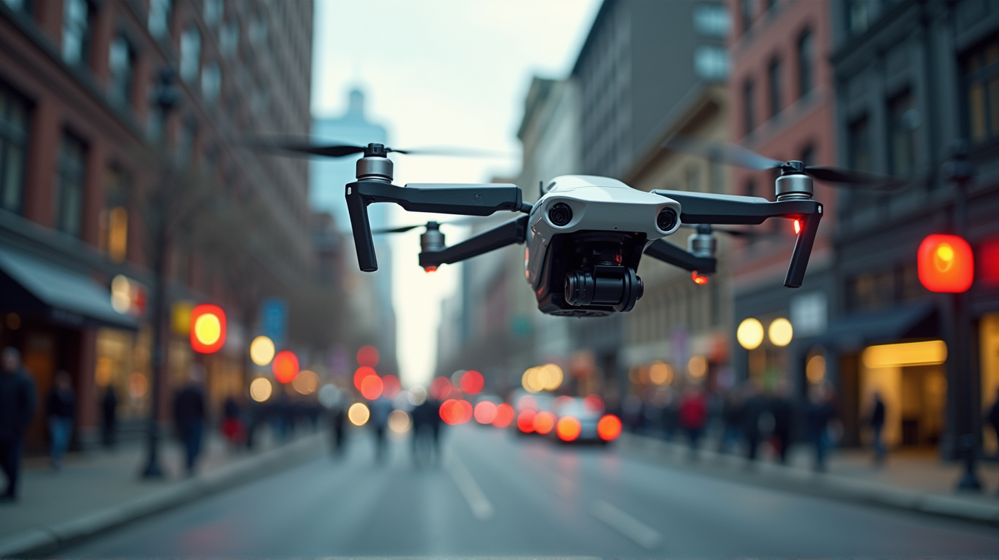
Revolutionizing Roadway Safety with Drones
In today’s rapidly advancing technology landscape, drones, often known as unmanned aerial systems (UAS), have emerged as a groundbreaking tool in infrastructure management. By employing drones for highway inspections, Massachusetts Department of Transportation (MassDOT) has dramatically minimized the need for traditional labor-intensive methods. This not only cuts costs but also significantly enhances safety by reducing workers’ exposure to oncoming traffic.
Why Drones? UAS technology revolutionizes data collection methods, allowing comprehensive assessments without disrupting traffic flow. According to Roads and Bridges, the deployment of drones ensures rapid data collection and processing, typically completed within 24 to 48 hours. This swift turnaround empowers engineers to make timely decisions crucial for project success.
Cincinnati’s Bus Rapid Transit: A Vision for the Future
Amidst these advances, Cincinnati Metro is spearheading a transformation with its ambitious Bus Rapid Transit (BRT) corridors. Designed to provide improved, faster transit services, these corridors will include level boarding, transit signal priority, and large articulated buses. These features, aside from speeding up services, are tailored to embody the unique spirit of Cincinnati’s diverse neighborhoods.
A Strategic Implementation
Khaled Shammout, now Deputy Innovation and Vision Officer at Cincinnati Metro, emphasizes a thoughtful approach. By employing fare data alongside origin-destination analysis, Cincinnati Metro plans routes with precision. This data-driven strategy ensures that service offerings meet current demands while allowing flexibility for future adjustments.
The Path to Zero Emission Vehicles
Another forward-thinking initiative by Cincinnati Metro involves transitioning to zero-emission vehicles. By investing in alternative-fuel buses, including battery-electric and hydrogen-fuel buses, the agency is making strides toward a sustainable public transit system. This move aligns Cincinnati Metro with global efforts to reduce carbon footprints in urban areas.
Challenges and Innovations: The transition is not without its hurdles, primarily technological and market variability. Still, the agency remains committed, taking a calculated approach to achieve a greener future.
Harnessing Data for Smarter Public Transit
The utility of UAS technology and data analytics isn’t just confined to infrastructure maintenance. In Cincinnati, data plays a pivotal role in refining public transit operations. Through detailed data analysis, transit agencies like Cincinnati Metro optimize network planning and service efficiency, allowing them to stand at the forefront of transit innovation.
Integration into Daily Operations: The influx of real-time data into daily operations fosters a dynamic environment where quick adaptations to transit demands are possible. Consequently, this enhances the city’s transit resilience and responsiveness to emerging challenges.
Conclusion
As drones and comprehensive data analysis redefine safety, efficiency, and public transportation, cities like Cincinnati stand as testaments to modern innovation’s impact on infrastructure. This progressive path not only addresses present-day needs but also lays a robust foundation for future growth and sustainability. As stated in Roads and Bridges, this is the dawn of a new era in transit systems.
Cincinnati’s story is a beacon of technological innovation, providing a model for others to follow as they navigate the evolving landscape of urban infrastructure and public transportation.